Projects
Open AR Cloud projects develop, test, demonstrate, and advance open and interoperable spatial computing technologies. Explore what we are working on, and find your way to take part.
How Can I Contribute?
There are four ways individuals and organizations can take part in the Open AR Cloud ecosystem.
Contributor
For individual developers or organizations who want to contribute their knowledge, development work, research, documentation, testing, or other expertise to OARC projects.
Testbed
For organizations that want to provide a real-world environment where OARC technologies, standards, protocols, and implementations can be tested and demonstrated.
Testbed Service Provider
For organizations that provide technologies or services that can be integrated into and evaluated through OARC testbeds.
Implementer
For companies or organizations that implement OARC-supported standards and protocols in their products, platforms, services, or applications.
Our Projects
The projects Open AR Cloud is actively working on. Each project will have its own dedicated page.

 OARC Project
SpatialDDS
A protocol specification for real-world spatial computing, defining how spatial data is discovered, distributed, and synchronized across devices and services.
Contribute →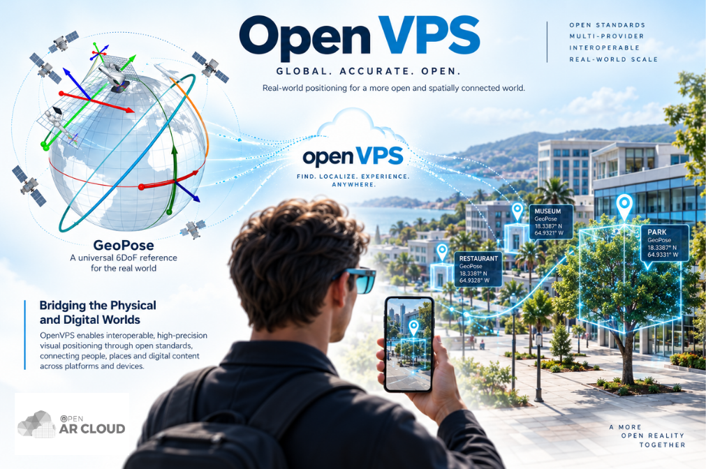 OARC Project
OpenVPS
The open-source Visual Positioning Service reference implementation: camera-based localization that follows the OGC GeoPose standard and can be self-hosted without vendor lock-in.
Contribute →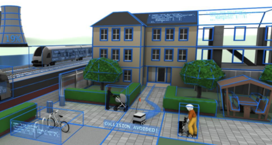 OARC Project
Reality Modeling
Standardized descriptions of real-world environments, bringing together BIM, GIS, IoT, and 3D formats such as glTF, USD, and 3D Tiles.
 OARC ProjectOGC Standard
GeoPose
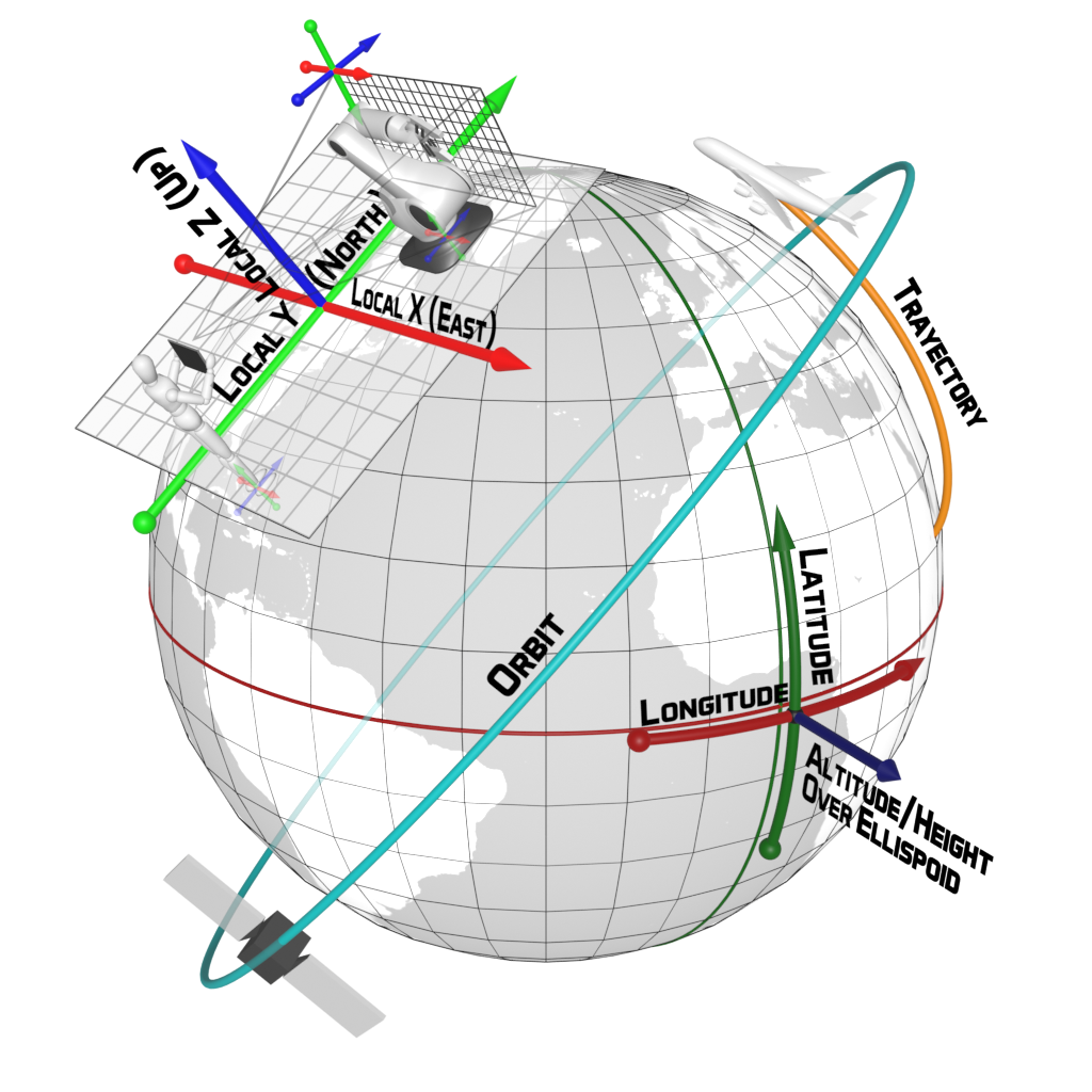
The OGC standard for representing position and orientation in space, and the OSCP GeoPose Protocol that puts it to work in spatial computing services.
 OARC Project
OSCP
The Open Spatial Computing Platform: an open, edge-first architecture for building spatially aware applications that connect the physical and digital worlds.
 OARC Project
spARcl
spARcl is Open AR Cloud’s open-source WebXR spatial browser. It discovers the spatial services and content available at the user’s location and shows them in AR, from text, icons, and glTF 3D models to videos, point clouds, IoT sensor streams, and OGC points of interest.